FREE DELIVERY TODAY - Place your 1st order.

Showing 1–28 of 116 resultsSorted by latest
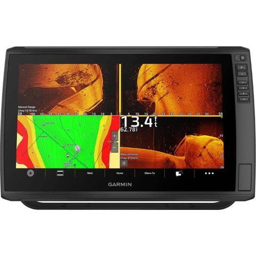
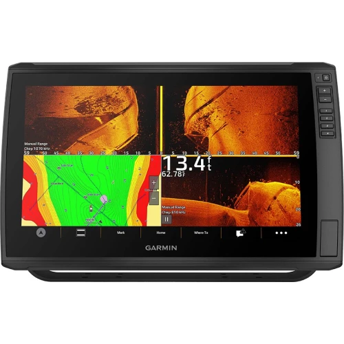
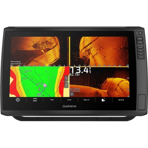
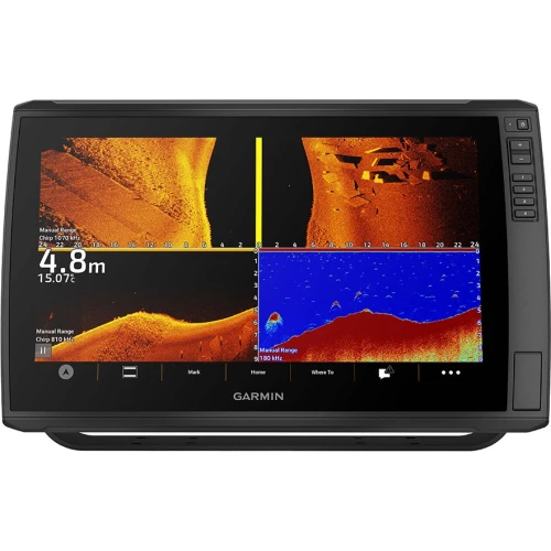
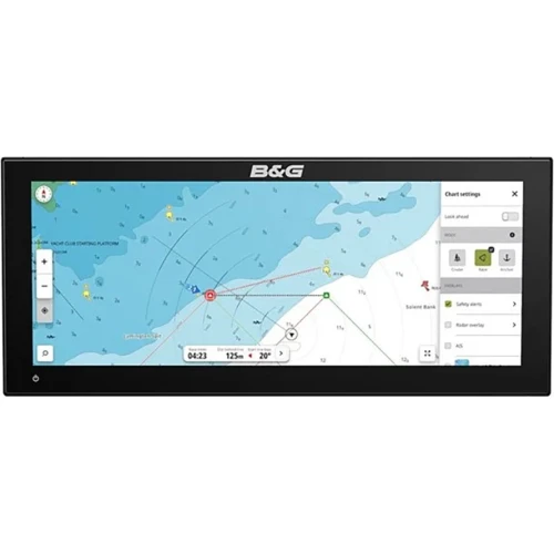
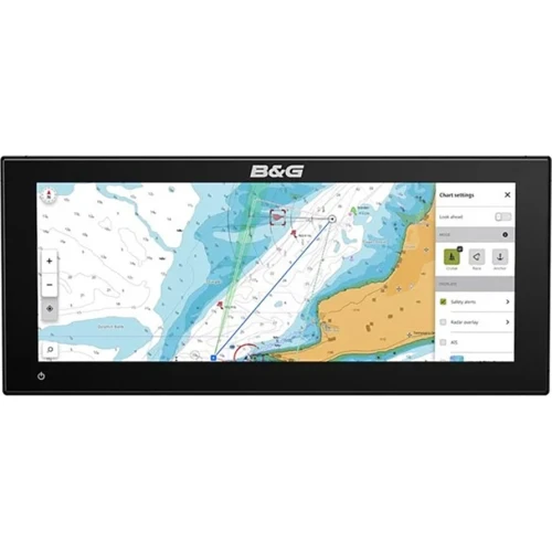


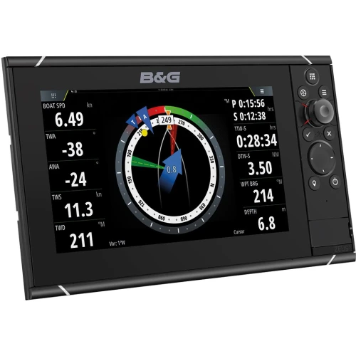
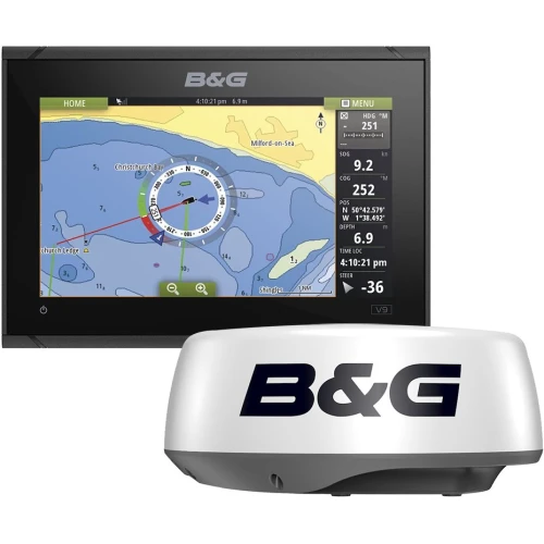






Marine GPS – Handheld, Chartplotters & Multifunction Displays
Shop our full selection of marine GPS systems, from compact handheld units for backup navigation to fixed-mount chartplotters and full multifunction displays (MFDs) that serve as the command center for your boat’s electronics. Whether you’re outfitting a small fishing boat with a single display or networking a full navigation suite on a larger cruiser, our lineup covers trusted brands and every level of integration.
Shop Marine GPS by Brand
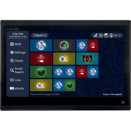
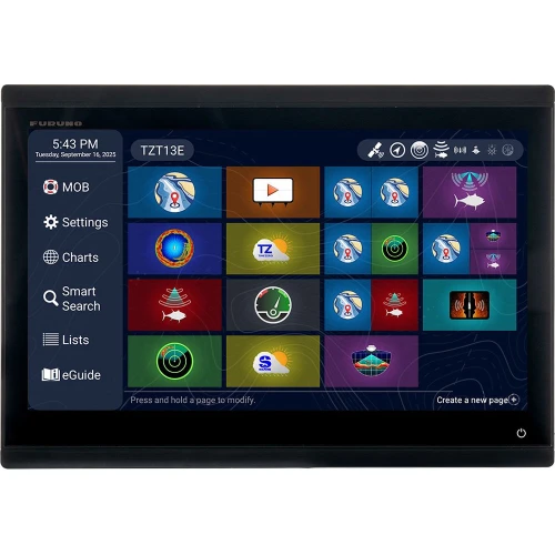
We carry marine GPS and chartplotters from four of the most established names in marine electronics: Garmin, widely recognized for its GPSMAP and ECHOMAP series with strong Navionics chart integration and a broad ecosystem of compatible radar, sonar, and autopilot products; Furuno, known for reliable navigation electronics and strong sonar performance across its chartplotter lineup; Simrad, offering multifunction displays with fast processing and support for its full suite of networked radar and autopilot systems; and Raymarine, recognized for its Axiom and Element series chartplotters running the LightHouse operating system, with both touchscreen and keypad control options. Not sure which brand or display fits your boat? See our guidance below or reach out to our team.
Handheld vs. Fixed-Mount vs. MFD
Handheld GPS units are portable, battery-powered, and useful as a backup navigation tool or for smaller boats, kayaks, and dinghies that don’t have a dedicated helm station. Fixed-mount chartplotters are permanently installed at the helm and provide a larger screen, more processing power, and continuous power from the boat’s electrical system for regular onboard use. Multifunction displays (MFDs) go further, serving as a central hub that can combine GPS charting with radar, sonar, autopilot control, and other networked electronics on a single screen — the standard choice for boaters building out a more complete navigation and fishing electronics system.
What a Chartplotter Actually Does
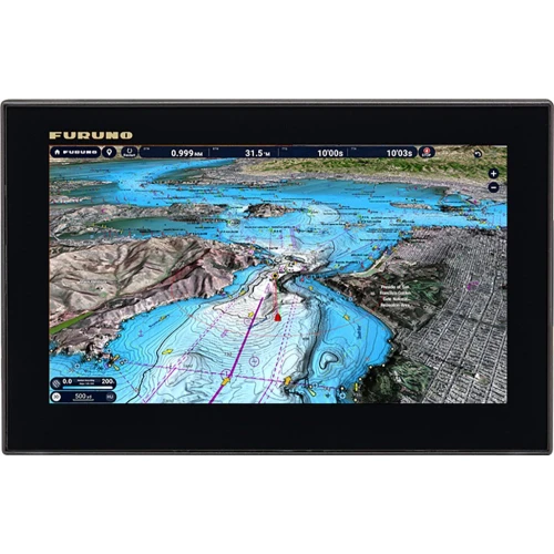
A chartplotter combines GPS positioning with detailed electronic nautical charts, showing your boat’s real-time position, speed, and heading overlaid on a map that includes coastlines, depths, reefs, shipping lanes, and buoys. This goes well beyond a basic GPS device, which typically shows only position without the detailed chart data and hazard overlays that make on-water navigation safer and easier to plan. Most chartplotters also support waypoint marking and route planning, letting you save favorite fishing spots or plan a full trip in advance.
Chart Cards and Coverage
Chartplotters typically ship with a base region preloaded, and many rely on chart card subscriptions for full coverage and regular updates. Garmin Navionics+ and C-MAP are the two leading chart options for US coastal and inland waters, both offering detailed coverage with regular update cycles. Check which chart ecosystem your chosen chartplotter supports, since chart cards are generally brand- and system-specific rather than universally compatible.
Sonar and Network Integration
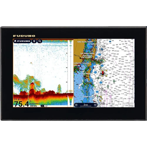
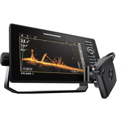
Most modern chartplotters support built-in or add-on sonar, effectively functioning as a combined chartplotter/fishfinder when paired with a compatible transducer — note that a transducer is often sold separately from the display itself. Beyond fishfinding, chartplotters and MFDs can typically integrate with other onboard electronics on the same network, including radar, autopilot systems, and VHF radios with DSC emergency signaling, letting you monitor and control multiple systems from one screen.
Frequently Asked Questions
What’s the difference between a chartplotter and an MFD?
A standalone chartplotter is primarily focused on GPS navigation and electronic charting. An MFD (multifunction display) does everything a chartplotter does while also serving as a hub for other networked systems like radar, sonar, autopilot, and engine data.
Do I need a separate transducer for fish finding?
In most cases, yes. Sonar features usually require a compatible transducer, which is typically sold separately from the chartplotter or MFD itself.
Can I use a chartplotter from one brand with a radar or autopilot from another?
Not always. Compatibility depends on networking protocols, and many manufacturers design their electronics to work primarily within their own ecosystem — check compatibility carefully before mixing brands.
What size screen do I need?
It depends on your helm space and how much information you want visible at once — common sizes range from 7 to 12+ inches, with larger screens making split-screen views (chart plus sonar or radar) easier to read.
Shop Garmin, Furuno, Simrad, and Raymarine marine GPS below — handheld, fixed-mount, and multifunction displays — to build the navigation setup that fits your boat.